828: ATLANTEN – JANSSONIUS, J.,
Ergebnis: 8.000,- €

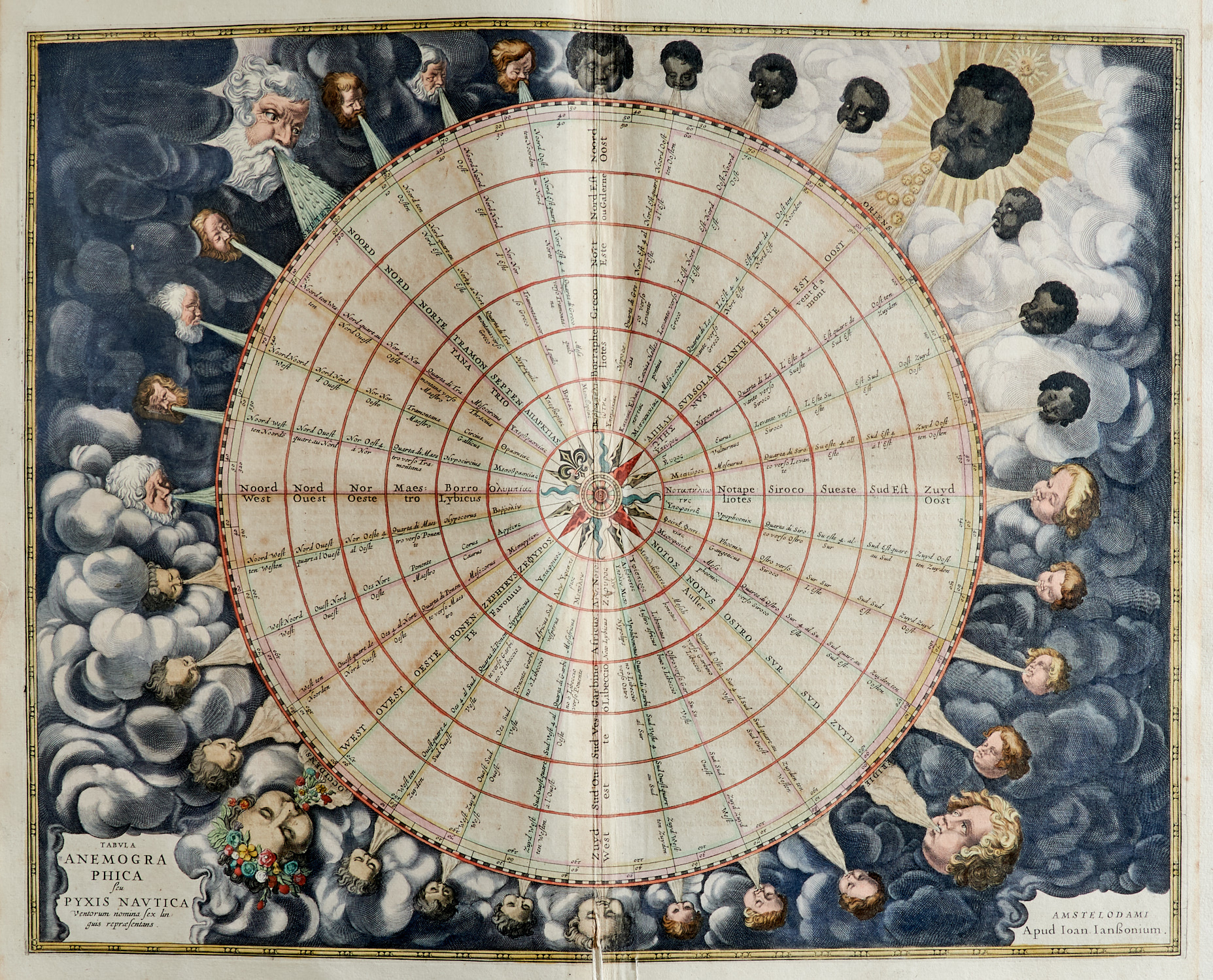
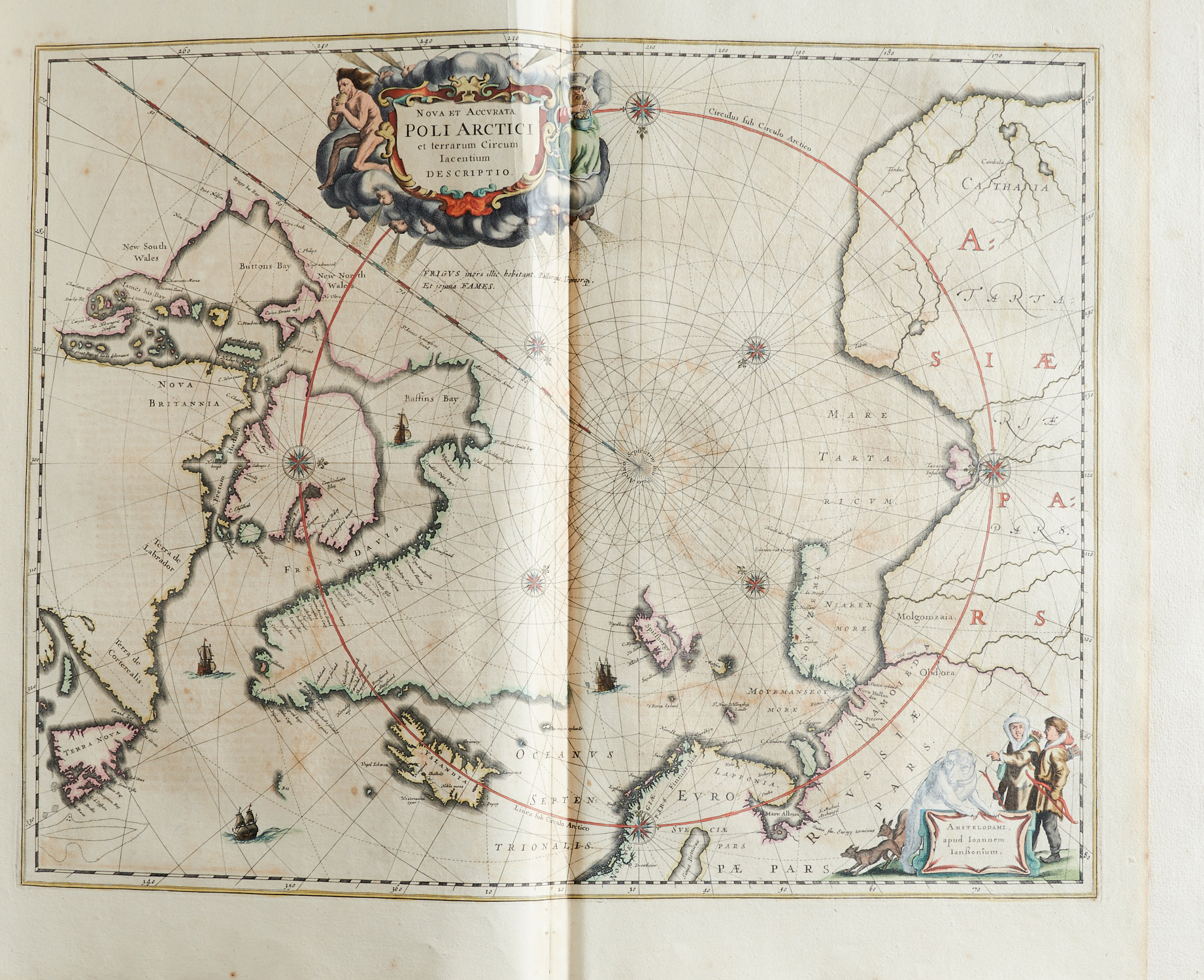
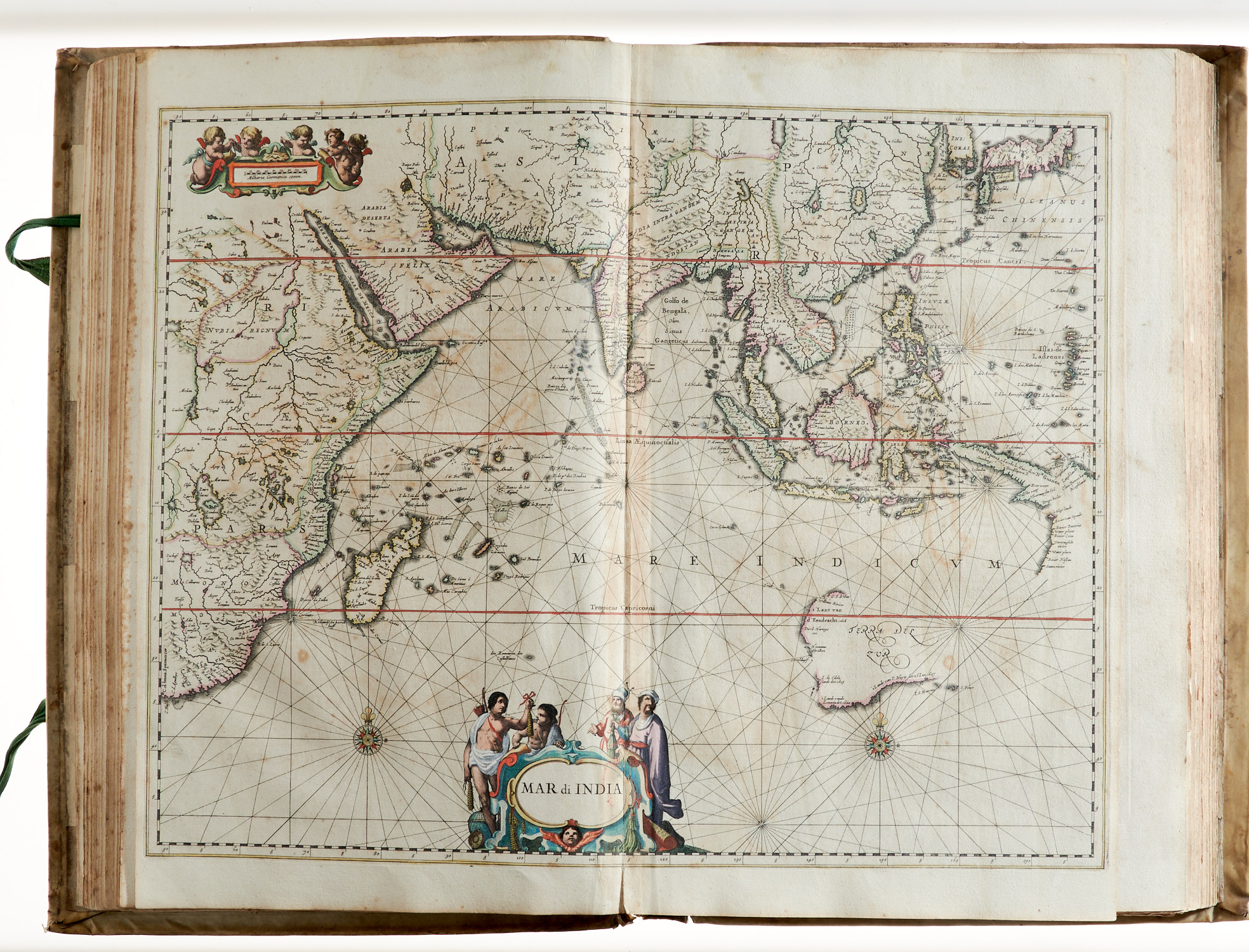
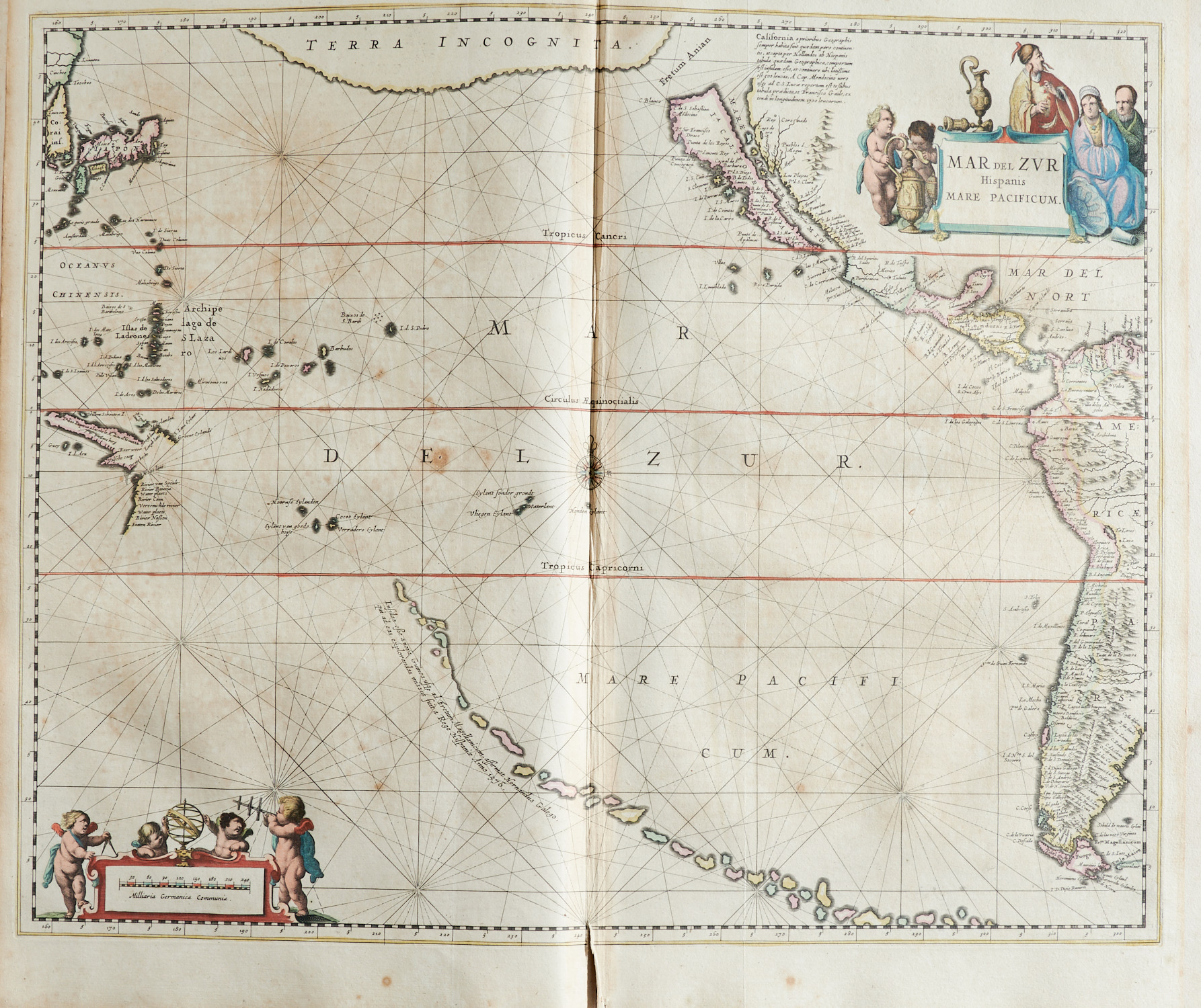


Van der Krogt I, 426.5M. – See – und Küstenatlas oder Teil 5 des fünfbändigen deutschen Novus Atlas von Janssonius in erster deutscher Ausgabe (ohne den zweiten Teil mit den Karten der Alten Welt). – Enthält 1 Karte der Winde, Karten der Pole (2), des Atlantik (4), der Karibik (2), des Indischen Ozeans (3, davon 1 von Ceylon), des Pazifik (1), der Ostsee (1), Nordsee (2), des nördlichen Eismeeres (3) und des Mittelmeeres (4, davon 1 Karte von Malta). – Es fehlt die 1650 datierte Widmung an den Leser. – Vorderer fliegender Vorsatz oben mit Ausriss, der gestochene Titel mit kleinem Randeinriss und Randschäden, der typografische Titel darauf montiert, Bl. A mit hinterlegter Fehlstelle (minimaler Buchstabenverlust) sowie kleinem Randausriss, die Karte des Golfs von Bengalen in der Mitte durchgerissen (kleiner Bildverlust), die Karte zum Ärmelkanal aufgezogen und bis zum Bildrand beschnitten, die Karte von Ceylon mittig mit längerem Einriss, die Karte von Malta im Bildfeld mit kleiner Fehlstelle am Bug, die meisten Karten mit Einriss am Bug (öfter bis in die Darstellung und tls. mit kleinen Fehlstellen mittig), mit einzelnen kleinen Randausrissen und wenigen Quetschfalten, stellenw. oben etw. wasserrandig, durchgehend fleckig (tls. stark) und gebräunt.
Part I (of 2). With engraved title and 23 copper engraved maps (all in old colouring). – Containing map of the winds, 2 maps of the poles, maps of the Atlantic (4), the Caribbean (2), Indian Ocean (3), the Pacific, the Baltic Sea, North Sea (2), Arctic Sea (3) and of the Mediterranean (4). – Missing the dated dedication sheet at the beginning. – Front fly leaf with tear, engraved title with marginal damages and the mounted letterpress title, sheet A with backed damage (minimal loss of letters) and small marginal damage, map of the Bay of bengal torn through the middle (small loss of image), map of the English Channel relined and trimmed, map of Ceylon with longer tear, map of Malta with small loss of image on the joint, most maps with tear in the joint, with sporadic marginal damages and few crease marks, partly with small waterstains, more or less tanned and soiled throughout (partly stronger) – Contemporary vellum (head and tail damaged, joint cracked, hasps renewed, somewhat soiled, scuffed and slightly bumped).